
How Branded Highlighters Can Keep Your Business Front of Mind?

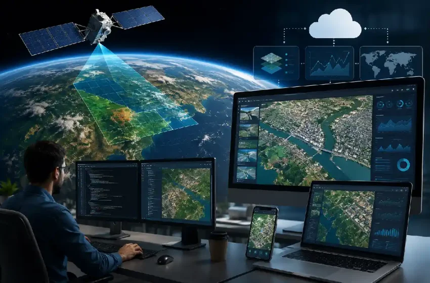
Bringing Satellite Imagery Into Modern Digital Platforms
Satellite imagery was once a highly specialized resource, primarily used by government agencies, research institutions, and organizations with dedicated geospatial teams. Today, developers have far more opportunities to bring Earth observation data into everyday digital products.
Modern APIs, cloud infrastructure, and improved access to commercial and open satellite data have changed how developers work with imagery. Instead of creating complex geospatial infrastructure from the ground up, development teams can connect satellite capabilities with apps, dashboards, analytics tools, and automated business systems.
Table of Contents
APIs Are Making Integration Easier
One of the biggest changes has been the development of APIs that give software applications programmatic access to satellite data. This allows developers to build Earth observation features into existing products without requiring users to move between multiple platforms.
Using a satellite image API, developers can connect applications with satellite imagery and create workflows for searching archives, ordering existing images, or requesting new captures. SkyFi, for example, provides API access to satellite and aerial sources, with imagery that can be delivered directly into cloud storage. This approach means satellite information can become part of a broader software experience rather than functioning as a separate specialist tool.
Automation Creates More Useful Platforms
APIs also make it possible to automate tasks that would otherwise require regular manual work. Developers can create systems that search for imagery, monitor defined areas, or trigger notifications when relevant data becomes available.
SkyFi’s API documentation, for instance, includes support for notifications and webhooks alongside archive searches and imagery ordering. These capabilities can be useful for digital platforms that need to monitor multiple locations without requiring someone to repeatedly perform the same searches. Automation can transform satellite imagery from an occasional research resource into part of an ongoing digital workflow.
Cloud Technology Handles Large Data Requirements
High-resolution satellite imagery can involve substantial amounts of data. Storing, transferring, and processing those files locally can create infrastructure challenges, particularly for smaller development teams.
Cloud computing provides a more flexible alternative. Developers can connect imagery workflows with cloud storage and processing environments, allowing resources to scale according to the needs of an application.
Direct delivery to services such as AWS S3, Google Cloud Storage, and Azure Blob Storage can also reduce the number of manual steps between acquiring imagery and processing it within a digital platform.
Satellite Imagery Can Support Different Industries
Developers are not limited to creating products specifically for the space industry. Earth observation information can complement software designed for agriculture, construction, logistics, insurance, property, environmental management, and infrastructure.
A construction platform might use imagery to provide additional information about changes at a project location. Agricultural applications could combine satellite observations with weather and field data, while logistics platforms might use geospatial information to understand conditions surrounding important routes or facilities. The most valuable integrations usually begin with a clear user problem rather than simply adding satellite imagery because it is available.
Developers Can Focus on the User Experience
As access to Earth observation data becomes simpler, developers can spend more time thinking about how users interact with the information. Raw satellite imagery may be valuable to specialists, but many users need straightforward conclusions, comparisons, alerts, or visualizations. A well-designed platform can process geospatial information behind the scenes and present the results in a form that supports faster decision-making.
Satellite imagery is unlikely to become relevant to every application. However, for digital platforms dealing with physical locations, environmental conditions, infrastructure, or changes on the ground, it provides a valuable additional source of information. As APIs and cloud-based tools continue to reduce technical barriers, developers have more practical ways to bring a view from space directly into the software people use on the ground.